Project Description
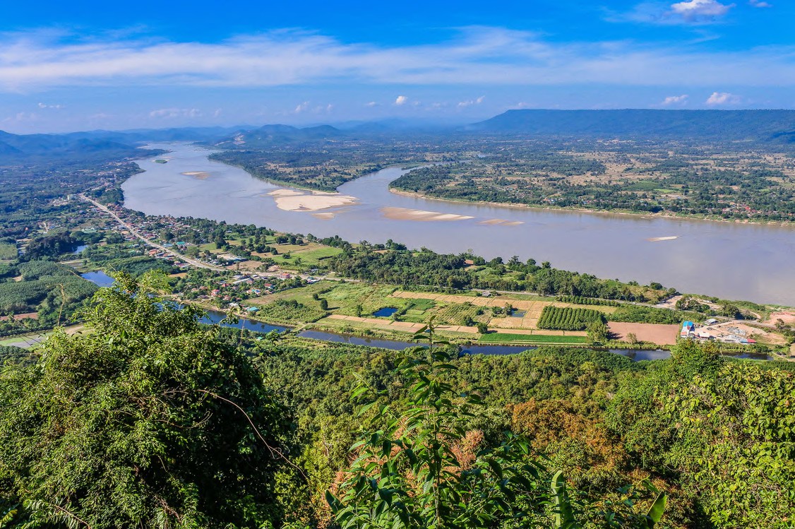
The Mekong River and the Tonle Sap Great Lake form a vital ecological and economic system in the region, supporting rich biodiversity and the livelihoods of millions. However, decades of upstream development, overfishing, and weak resource management have degraded the system, resulting in declining fish stocks and increasing risks to agriculture—especially in Cambodia’s floodplains.
The “Mekong–Great Lake Diversion” Project aims to enhance early-season water inflow into the Tonle Sap at the beginning of the wet season, after the lake has fully drained. This will support timely fish migration and help reduce risks to early rice crops. Through hydrological assessments, ecological studies, hydrodynamic modeling, and infrastructure planning, the project promotes integrated floodplain development, strengthens national food and water security, and fosters regional cooperation under the Mekong–Republic of Korea partnership.
Our Core Objectives
1
To enhance the early migration of fish eggs, larvae, and juveniles from their spawning areas in the upper Mekong and its tributaries to the Tonle Sap Great Lake, the Mekong floodplains, and the sea.
2
To reduce the risk of damage to early rice crops (May–July) in the downstream floodplains of Cambodia
Activities / Components
1
Conducted hydrological and ecological assessments to inform early flood flow strategies from the Mekong River to the Tonle Sap.
2
Developed hydrodynamic models to simulate water movement and optimize the timing of lake in-filling.
3
Designed infrastructure concepts to support water diversion and enhance flow control.
4
Facilitated stakeholder consultations to ensure alignment with local needs and regional priorities.
5
Applied integrated, multi-sectoral planning approaches to strengthen floodplain management and promote sustainable water resource development.
Results Achieved
-
Scientific Assessments and Modeling:
Recompiled and analyzed floodplain data to develop early flood scenarios that support fish migration and crop protection. Established an optimized hydrological data network to improve understanding of the Mekong–Tonle Sap flood dynamics and to inform long-term flood risk mapping and planning.
-
Infrastructure Planning and Design:
Proposed a multi-objective water conservancy scheme tailored to current and future land use, integrating considerations such as climate change, topography, soil conditions, and hydrology. The design supports national goals for water and food security and lays the foundation for sustainable floodplain development.
-
Institutional Cooperation and Policy Promotion:
Advanced planning under a flexible legal and institutional framework that encourages intersectoral collaboration, alignment of shared goals, and conflict mitigation—fostering a cooperative environment for integrated water resource management
Successful Factors/ Strategies
- Capacity Building and Knowledge Sharing: Enhanced local institutional knowledge and data accessibility laid a foundation for future research and governance.
- Participatory Planning: Involvement of stakeholders from national agencies, communities, and scientific institutions encouraged buy-in and long-term sustainability.
- Strategic Infrastructure Design: Multi-purpose infrastructure proposals aligned with ecological, agricultural, and hydrological priorities for long-term utility.
Future Strategies and Plans
- Expand the Collection of Hydrological and Related Data: Increase investment in the systematic collection of hydrological data and hydraulic characteristics in floodplain areas—particularly in key regions where detailed topographic and land survey data are lacking.
- Integrate Disparate Data Resources: Establish a unified and centralized data management platform to consolidate hydrological, topographical, fisheries, and other sectoral data that are currently fragmented across various institutions.
- Promote Cross-Sectoral Planning and Collaboration: Strengthen and institutionalize collaboration among key sectors—including water resources, agriculture, fisheries, and environmental protection— through joint planning mechanisms. Such coordinated efforts will contribute to more efficient resource use and the achievement of sustainable development goals in flood-prone regions.